Field Guide & User Manual
How to use BlueGreen Guide
A practical guide to navigating the curated launch map, search, filters, collections, cards, details, and verification notes.
Safety note: BlueGreen Guide is a planning aid, not a live conditions or safety service. Always check official sources and current conditions before going.
Home screen
Map-first
Search
Filters
Launch cards
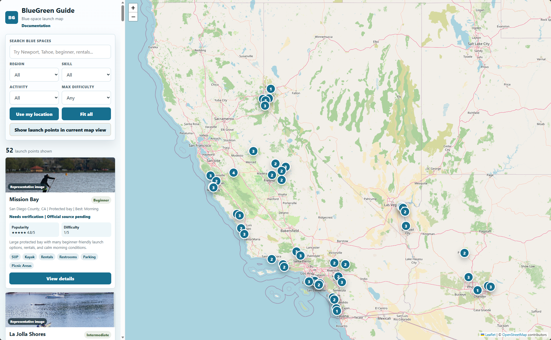
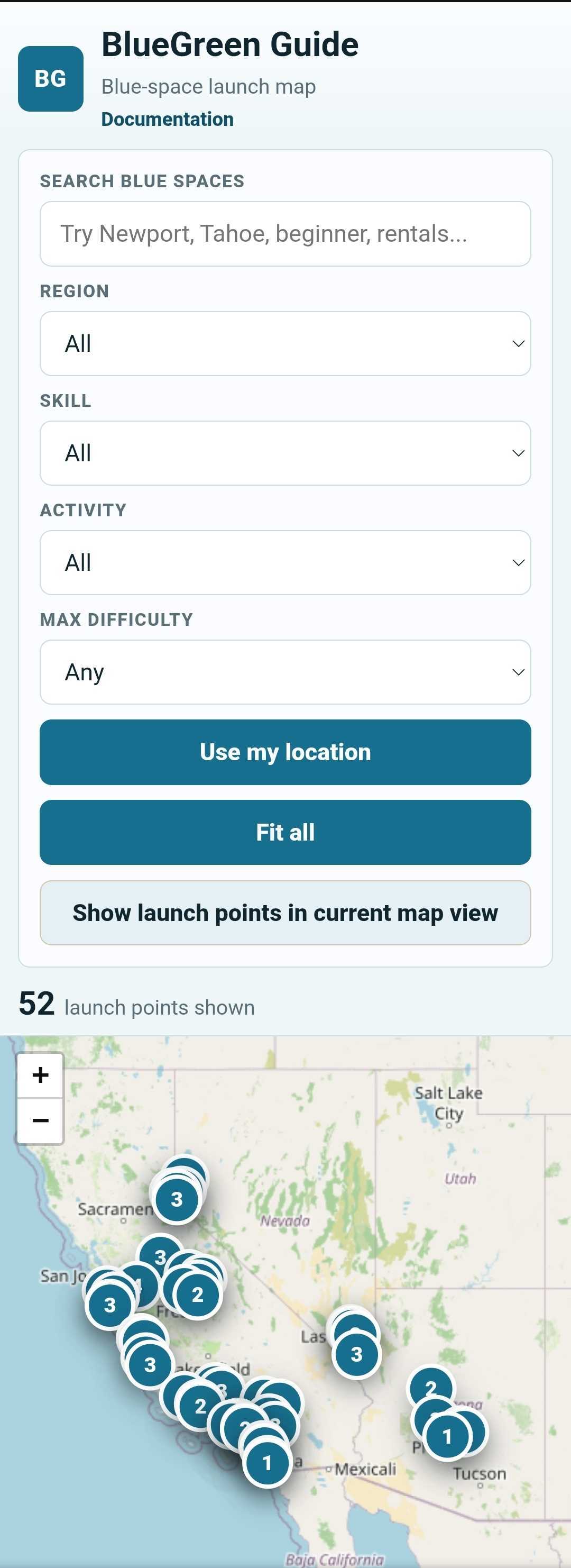
The home screen combines search, filters, curated collections, result cards, and an interactive map. The map remains the central discovery tool while the sidebar helps narrow the current list.
Curated collections
Beginner Favorites
Family Friendly
Calm Water
Harbor Paddles
Scenic Views
Collections provide a quick starting point for common needs. Selecting one filters the map and result list. Clear the collection to return to the full launch map.
Explore the map
Blue circle = water place
Green square = land place
Outline = universal
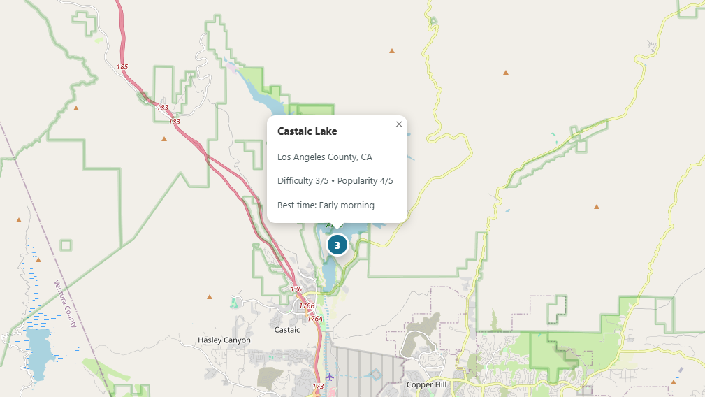
Drag to pan, zoom in and out, select markers, use Fit all places to reset the view, or show only launch points inside the current map area.
Search
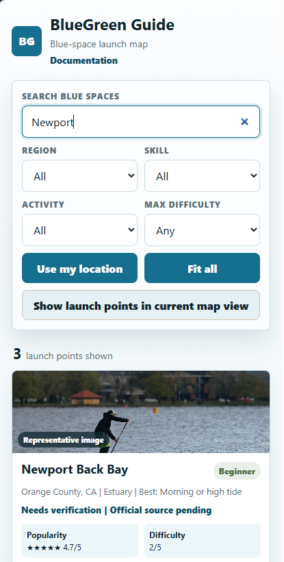
Search by place, region, activity, water type, amenity, water body, tag, or descriptive text. Examples include Newport, Dana Point Harbor, beginner, rentals, scenic, or calm water.
Filters
Filter by region, skill, water activity, and maximum difficulty. Filters can be combined with search and curated collections to create a smaller planning list.
Launch cards
Activities
Amenities
Verification
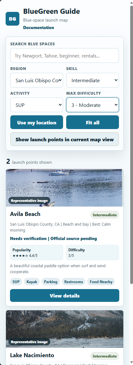
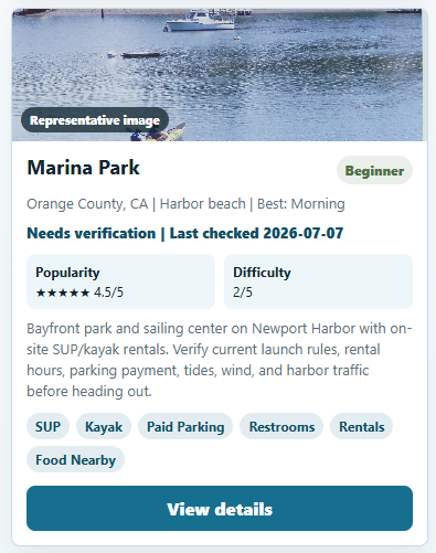
Launch cards summarize skill level, water type, difficulty, popularity, best general time, activities, amenities, and verification status. These are quick planning summaries, not guarantees about current conditions.
Launch details
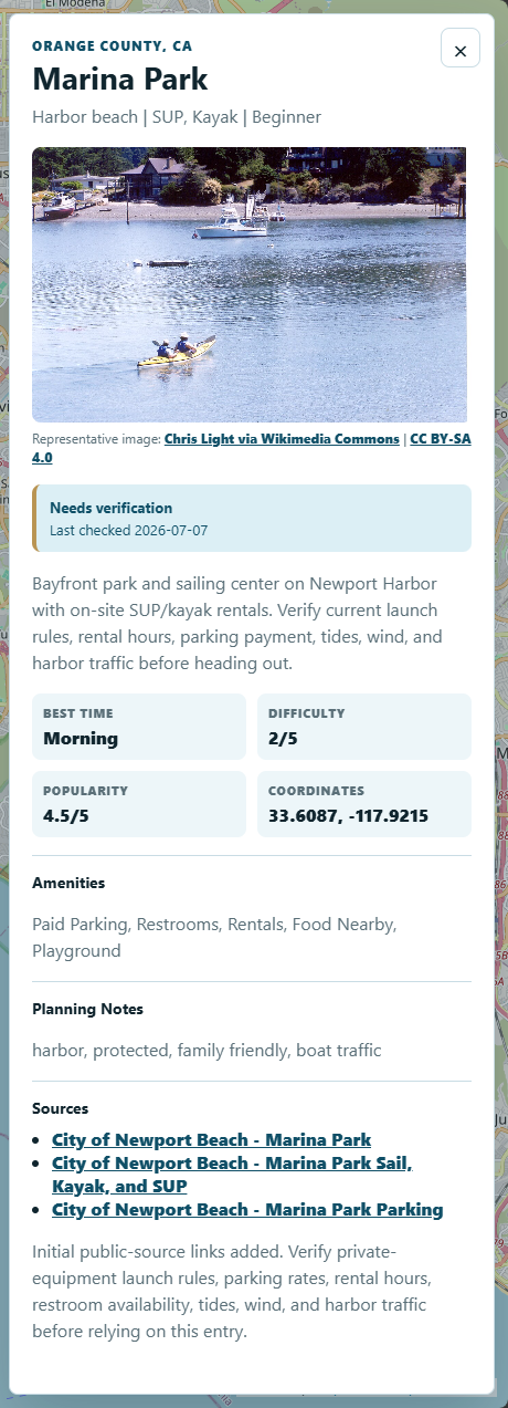
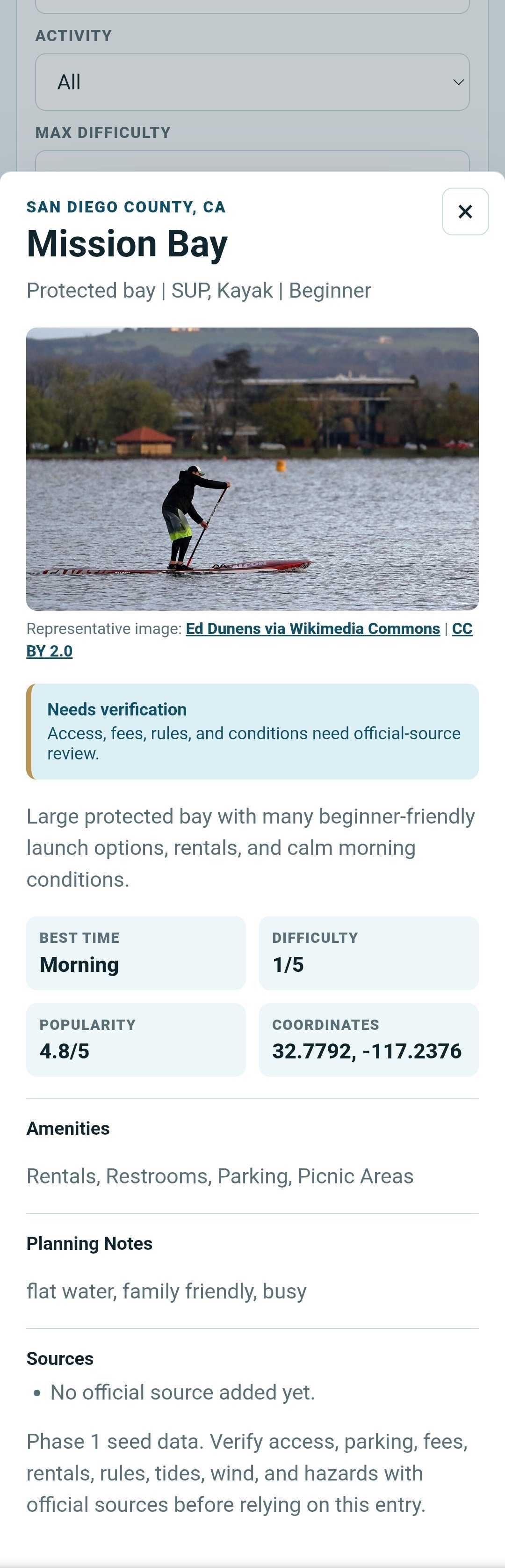
Open a place detail panel to review the fuller description, general planning fields, representative photo information, source links, water-body context, and verification notes.
Verification and sources
Official source
Needs verification
Conditions vary
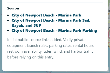
Information marked Needs verification should be confirmed through official park, harbor, marina, city, county, or agency sources before use. Access, legal launch points, fees, parking, tides, wind, water quality, closures, and hazards may change.
Mobile use
On mobile, the interface stacks the brand header, wayfinding key, collections, filters, result summary, map, and cards. Keep the map available for geographic context, then open details and official sources before leaving.
Frequently asked questions
Is it nationwide?
Not yet. The current release is a curated proof of concept focused on selected western launch points.
Are conditions live?
No. Weather, wind, tide, water quality, and other changing conditions belong to later planning phases.
Does Beginner mean safe?
No. It describes the general seed-data classification only. Conditions vary and official sources should always be checked.
Are the photos always the actual place?
No. Current Phase 1 images may be credited representative placeholders until verified location photography is available.